



LAW ENFORCEMENT
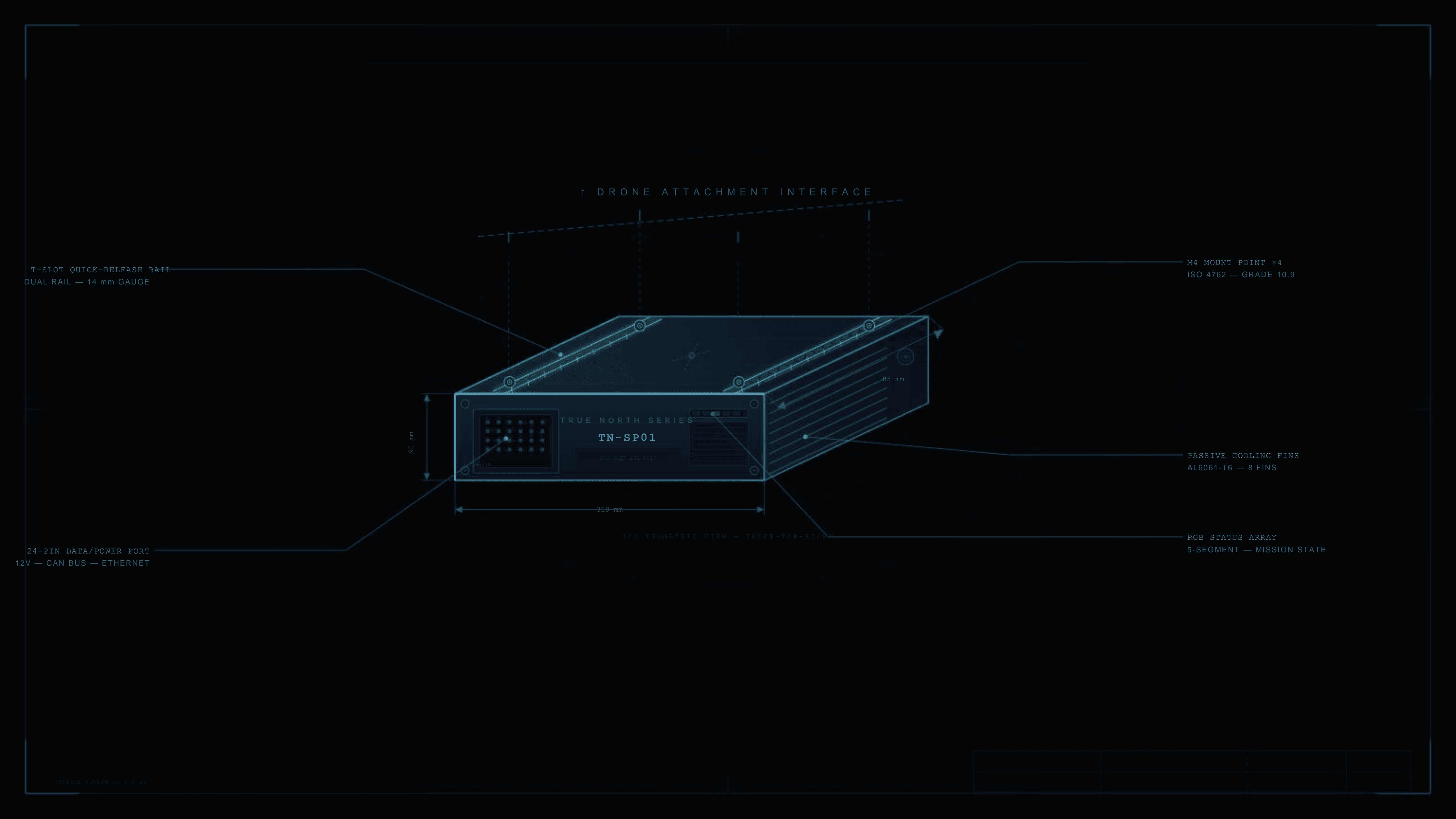
Urban surveillance and tactical response in environments where GPS jamming is now standard tradecraft. True North keeps drones operational over dense cityscapes, tunnels, and structures that block satellite signal entirely.

SAVE&RESCUE
Search and rescue operations demand precision navigation in the most unforgiving environments on earth — avalanche terrain, dense forests, open water, and disaster zones where GPS signals are weak, blocked, or completely absent. True North keeps rescue teams and autonomous platforms oriented and on target when every second counts.
DEFENSE&BORDER SECURITY
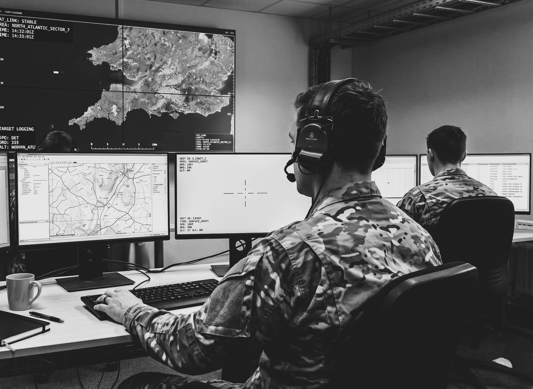
Across contested environments where jamming and spoofing are active threats, not theoretical risks. True North enables autonomous platforms to maintain accurate navigation and situational awareness over land, air, and maritime domains, without dependence on infrastructure that can be denied, degraded, or destroyed.

FILM & AERIAL CINEMATOGRAPHY
Some of the most compelling footage exists in places satellites cannot reach, deep inside canyons, beneath forest canopies, between city towers, inside abandoned structures where light barely enters. True North doesn't ask where you're shooting. It just keeps you there, frame after frame, with the precision that cinematic work demands.

EXTREM SPORT &
EXPEDITION FOOTAGE
Weekend flights over your favourite landscape. A coastal sunrise you want to remember exactly as it looked. A trail run through dense forest that no map quite captures. True North is for the drone operators who refuse to let a lost signal decide where the story ends. Fly further, stay longer, bring back something worth keeping.
